
Gwinnett Neighbor Records by Block
No Gwinnett County file lists every household around an address. Instead, official sources reveal separate parts of the block. GIS maps the land. The assessor identifies the recorded owner and tax-mail destination. Plats show lot and subdivision relationships. A lawfully obtained voter file may group limited public fields by street, though it is not complete. Public association contacts identify groups, not all members.
| Block Source | What It Reveals Nearby | How to Access It |
|---|---|---|
| GIS and assessor | Adjacent parcels, PINs, situs addresses and recorded owners | Free county browser and property cards |
| Recorded plat | Lot, block, subdivision, easements and streets | Clerk or GSCCCA index |
| Voter file | Only lawfully released fields that may be grouped by street | State order channel or records request |
| Permit or code file | Address events, applicant, contractor and dates | Portal or narrow records request |
| Association contact | Public officers, events and stated boundaries | Planning pages or SOS filing |
| Historic directory | A listed subscriber at a past address | Library, archive, or digitized volume |
This block-lookup table also shows the core limit: an owner can live elsewhere, and a listed subscriber never represented every adult. Treat each name as a source-specific lead.
Map Gwinnett County Neighbors
The Gwinnett GIS Data Browser can locate a parcel, owner, street, address, or intersection. Search the target address, zoom until parcel lines appear, and confirm that the selected polygon's PIN matches the assessor card. Then click outward, recording the PIN for each parcel that shares a boundary or sits across the same street segment.
- Enter the house number, street name, and abbreviated street type, or use the exact PIN.
- Verify the situs address and parcel polygon before selecting nearby land.
- Use identify or select on each adjoining parcel, then record its PIN.
- Open the assessor card for each PIN and separate owner mailing address from situs.
- Save a map link or print view so the chosen block can be reviewed later.
The viewer also includes layers, measurement, and intersection tools. Measurements are context, not a legal survey. Deeds and plats control legal-description questions. Flood, school, voting, utility, commission, and municipal layers can tell which public office serves a block, but they cannot tell who lives in each home.
Note: Preserve parcel IDs during a Gwinnett neighbors search because house-number order may fail on cul-de-sacs, flag lots, and irregular subdivisions.
Defining a Gwinnett Neighbor Block
A block is a research boundary, not a fixed county record. In a grid, it may mean both faces of one street between two intersections. In a subdivision, a recorded plat and physical barriers may provide a better edge. On a rural road, the closest parcels can span large distances. For a cul-de-sac, select the lots that face the shared turnaround instead of trusting sequential house numbers.
Apartments and condominiums need more restraint. One tax parcel can represent many units, so the mapped owner does not enumerate the people inside. A condominium plat may show unit parcels, common areas, and association interests, but it still does not provide a complete resident roll.
- PIN
- The county parcel identifier used to track one piece of assessed land.
- Plat
- A recorded drawing that shows subdivision lots, blocks, roads, and related boundaries.
- Situs address
- The physical parcel address, which can differ from the owner's tax-mail address.
- Adjacent parcel
- A lot selected because it shares a mapped boundary with the target.
Gwinnett Owners Are Not Occupants
The assessor card normally shows the owner name, mailing address, situs address, PIN, legal description, values, tax district, acreage, deed references, and exemption clues. A mailing address merely tells where the tax notice goes. If it differs from the situs, that may suggest an owner receives mail elsewhere, but it does not prove who occupies the home.
Homestead can support an owner-occupancy conclusion. It still does not name a spouse, relative, roommate, or any other person in the household. Permits identify applicants, contractors, owners, work types, dates, and status. An applicant is not necessarily a resident. These are common points where a neighbor lookup can overstate the record.
Owner versus resident. Record the exact role beside every name. “Owner,” “applicant,” and “registered voter” are distinct facts, not synonyms for occupant.
Gwinnett Neighbors and Voter Files
Georgia My Voter Page verifies one voter from a first initial, last name, county, and date of birth. It cannot be browsed as a block list. The separate state voter-list product can include parsed residence street and ZIP fields, district data, registration status, and birth year, but its release and use are controlled by O.C.G.A. §§ 21-2-225 and 21-2-225.1.
Month and day of birth, Social Security number, email, driver-license number, and registration location are withheld from the public product. Qualifying voters with protective orders and certain family-violence-shelter residents may keep their residence addresses confidential. Commercial use is prohibited. Georgia has open primaries and does not register voters by party, so a “last party voted” field is only primary participation. It never reveals a ballot choice.
| Official Record Route | Commercial Neighbor Compilation |
|---|---|
| Names the custodian and record role | May merge public and commercial sources |
| Allows direct source checking | May hide dates or sources |
| Applies statutory suppression rules | Can be stale or join namesakes |
Official data is still incomplete as a list of neighbors. Children, nonvoters, and protected voters will not form a full household picture, and voter status says nothing about every other person at the address.
Public Gwinnett Community Contacts
Gwinnett research did not identify an authoritative countywide association roster with public member-directory status. Use county or city planning pages to discover an organization, then check the Georgia SOS Business Search for a public entity filing. A public officer, business address, or event contact can establish how to reach the group. It cannot be turned into a roster of nearby households.
County and City Planning
Use the office serving the mapped jurisdiction to ask about known neighborhood plans, public meetings, and contact channels.
Georgia SOS Filings
Search an association's legal name, control number, agent, or officer. An agent address is not proof of residence.
Gwinnett Historical Society
Ask about public town binders, church records, maps, school files, and government-record indexes at the Historic Courthouse.
Congregations, civic clubs, alumni groups, veterans posts, and neighborhood groups may publish officers or member details with consent. Private rosters remain private. Contact the organization rather than copying or republishing member information.
Historic Gwinnett Neighbors in Context
Historical records can show a past block without claiming a current household. The Gwinnett Historical Society preserves town binders, family files, maps, church and school material, and government records. Its especially detailed finding aids include Early Lawrenceville and town groupings for Auburn, Buford, Centerville, Dacula, Duluth, Grayson, Lilburn, and Loganville.
A local community landmark now has a dedicated research setting. The Hooper-Renwick themed library opening announcement describes the preserved school legacy, exhibits, community space, and Black Studies collection:
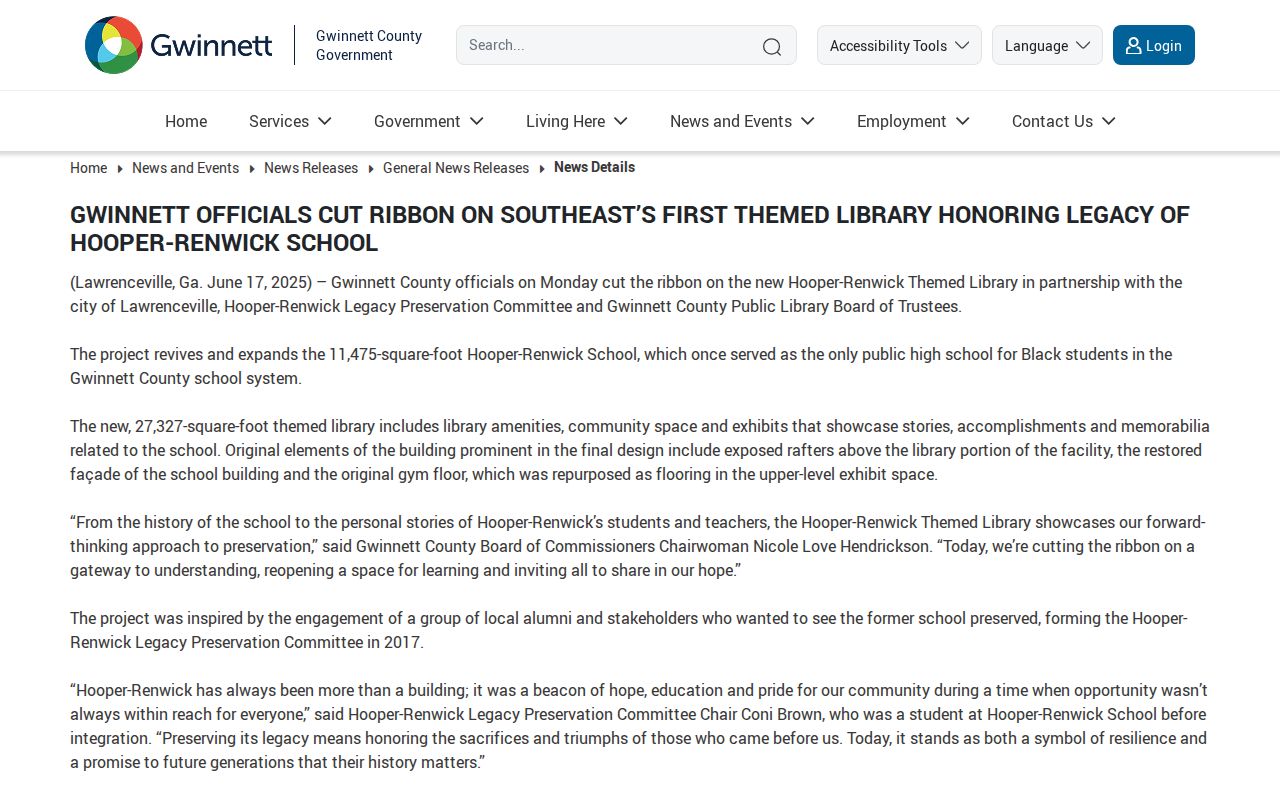
The resource gives historic neighborhood research a place-based route that a modern parcel card cannot supply.
Census pages add another layer. Enumerators often recorded nearby households in walking order, so entries around a known family may approximate historical neighbors. They are not parcel maps. Compare names with deeds, plats, newspapers, and verified telephone-directory listings before treating two families as next-door neighbors.
Reading Gwinnett Neighbor Directories
Confirmed Southern Bell scans from the late 1960s and 1970s include Gwinnett communities, addresses, abbreviated locality codes, and telephone numbers. Those books are telephone directories, not proven countywide criss-cross editions. An alphabetical page places like surnames together, not nearby homes. A street section can be used by address only when the particular edition actually includes one.
Preserve the volume title, publication date, page, printed street, and locality key. An abbreviation such as a Lawrenceville code refers to the book's telephone or postal context, not necessarily city limits. A missing person might have moved, changed a name, used an unlisted number, shared a household phone, or shifted exchanges.
Pair the listing with the Gwinnett library newspaper runs or a historical-society file. That follow-up can add an obituary, school event, business notice, or legal notice while keeping the directory claim within its actual scope.
Gwinnett Records Beyond the Map
Some block records are not in a public search box. Planning and Development or a city office may hold permits and code files. The responsible custodian depends on city limits, not the postal city printed in an address. County tax and deed records remain countywide, while local permit control can shift with annexation.
Gwinnett's official 2024 accomplishments page describes a renovated Records Management Center and related community resources. The county records and services update is shown here:
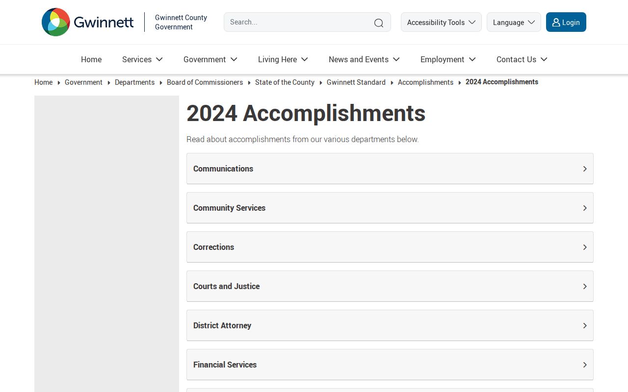
The update is a reminder that an offline or managed record may still exist even when no browseable neighbor index does.
For a narrow request, state the exact address or PIN, record type, department, date range, and documents sought. Ask for existing records in their native electronic form. Georgia agencies need not create a new resident list from separate files.
Privacy for Gwinnett County Neighbors
Georgia Safe at Home can place a substitute address in participating records for an eligible survivor. Protected voter addresses also stay suppressed. Motor-vehicle, utility-customer, and delivery information are not general public neighbor files. Private association directories require consent, even when an organization's officer contact is public.
Use parcel and directory evidence for civic curiosity, family history, a neighborhood project, or personal safety awareness. Keep the record role attached to each name. Do not publish sensitive identifiers, attempt to defeat protected-address programs, or treat absence from a list as proof that someone is not nearby.
Lawful use. Finding Gwinnett County neighbors never authorizes watching, stalking, harassing, threatening, or intimidating anyone. Respect private rosters and protected addresses.
For a whole named road rather than the immediate block, use the Gwinnett County street directory and its parcel-by-parcel workflow.