
Walk a Gwinnett County Street
A sound street directory is built one parcel at a time. Gwinnett County has no official list of every person living along a road. The assessor identifies taxable parcels and recorded owners, GIS places those parcels on the street, deeds confirm title, and other lawful records add limited evidence about people. Keep the parcel identification number, or PIN, with every note because it is more stable than a street label.
- Enter the full address in the Board of Assessors Property Information and Map Search. Save the PIN, situs and mailing addresses, owner, legal description, and deed reference.
- Open the same place in the GIS Data Browser. Confirm the parcel polygon and inspect each parcel along the chosen segment.
- Use voter information only through Georgia's lawful channels. My Voter Page verifies one voter and is not a street roll.
- Take the owner and deed citation to the Clerk of Superior Court or GSCCCA. Match the legal description, not just the modern number.
- For past occupants, check verified telephone books, census schedules, and Gwinnett County Public Library newspapers.
The sequence keeps ownership, registration, and occupancy distinct. If the question narrows to one named person, the Gwinnett County resident lookup has the better workflow.
Search Gwinnett County by Address
The assessor and GIS form the strongest current address index. Official help confirms property searches by PIN or address, while the GIS page also advertises owner, street, and intersection modes. Try the house number and plain street name first. If it fails, shorten the street type, use the PIN, or search a nearby intersection.
| Search control | Type | Best use | Format note |
|---|---|---|---|
| PIN | Text | Exact parcel | Preserve all parts |
| Property address | Text | Known house and road | Number plus street |
| Owner | Text | Candidate parcels | Try name variants |
| Street | Text | Browse a road | Check suffix spelling |
| Intersection | Two streets | Orient to a block | No house number needed |
A parcel card can show owner, mailing and situs addresses, legal description, subdivision, lot, acreage, values, exemptions, building traits, and deed references. A homestead indicator supports owner occupancy but does not name all occupants.
The official assessor contact and records page appears below.
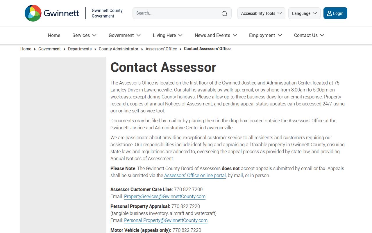
It supplies an official fallback when the live property tool fails or staff help is needed.
Map Gwinnett County Street Parcels
The GIS Data Browser turns a line of addresses into mapped parcels. Search one address, verify its PIN, and zoom until lot lines can be read. Identify or select each parcel in a fixed direction. Street and intersection searches locate a segment, while municipal, voting, school, flood, and utility layers explain jurisdiction. None identifies residents.
Curves, cul-de-sacs, barriers, and condominium parcels make sequential numbers unreliable. One condominium tax parcel can represent many units. Measurement tools give context only; a recorded plat or deed controls legal-boundary questions.
See the official Gwinnett County GIS Data Browser.
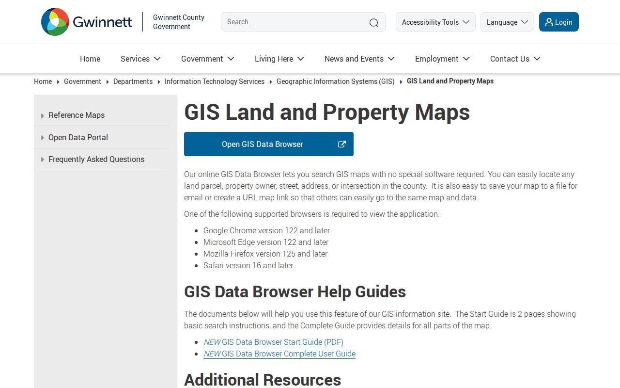
Its parcel, owner, street, address, and intersection modes connect separate property cards into a street-by-street view.
Gwinnett County Street Record Set
No source supplies a complete household roster. Label every fact by keeper and date, and treat a person-to-address tie as evidence rather than permanent truth.
| Source | Keeper | Street evidence | Limit |
|---|---|---|---|
| Assessment roll | Board of Assessors | Owner, PIN, situs, mailing address | No full household |
| GIS | County GIS | Parcels, streets, layers | Not a survey |
| Deeds and plats | Clerk and GSCCCA | Transfers and legal descriptions | Owner is not occupant |
| Voter records | Georgia and county elections | Lawfully released address fields | Protected data omitted |
| Permits | County or city | Applicants, work, dates | Applicant may live elsewhere |
| Directories | Libraries and archives | Listed subscriber | Unlisted people absent |
Assessor, GIS, deeds, and plats cover the county. Permit custody depends on incorporation. Use GIS first, then ask Gwinnett Planning and Development or the city office for existing records by address, PIN, type, and dates.
Gwinnett Mailing Is Not Situs
Situs is the property's physical address. The mailing address is where tax correspondence goes. A mismatch may mean the owner receives mail elsewhere, but it does not prove who occupies the site. Postal city names also may not match incorporated limits, so GIS boundaries are better than the city line on an envelope.
- Parcel
- A mapped unit of land used for assessment.
- Situs address
- The physical property address.
- Plat
- A recorded drawing of lots, blocks, streets, and easements.
- Criss-cross directory
- A directory arranged by street or telephone number.
Annexation can change the local permit custodian while county deeds and taxes remain in Gwinnett systems. Preserve the PIN and legal description through every step.
Follow Gwinnett Lots Through Deeds
Deeds index parties and instruments, not every modern street address. Carry the owner, book and page or instrument number, and legal description from the parcel card into GSCCCA. Confirm the acquisition deed, then search the seller as a prior grantee. Repeat for each parcel.
Gwinnett deed records begin September 26, 1871 because former records were lost by fire. GSCCCA offers remote access with fees, while the clerk says searching and viewing at 75 Langley Drive is free. Current office copies cost $2.50 for the first page and $1 for each later page; large plats cost $10. Hours are weekdays 8:00 a.m. to 5:00 p.m., with recording through 4:30 p.m.
Counter advantage. Remote images can cost money, while the Gwinnett clerk says searching and viewing in its office are free.
The clerk's deed access page anchors that coverage.
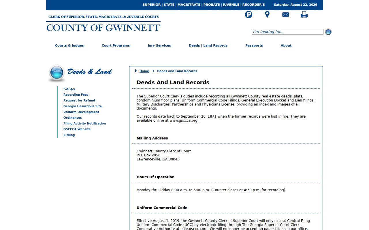
It links the address chain to official land records and their access channels.
Gwinnett Street Permits Need Context
A permit or code file marks an address event. It may name an owner, applicant, contractor, work type, issue date, inspection, and status. None of those roles proves residence. For unincorporated land, Gwinnett Planning and Development is normally first. Incorporated parcels may shift custody to a city.
The county open-records portal covers Planning and Development and other executive departments, but excludes Superior, State, and Magistrate clerk files. Judicial requests go to the court clerk. Ask for existing electronic records, not a new resident list.
Gwinnett Voters Are Not a Directory
Georgia My Voter Page uses first initial, last name, county, and date of birth to verify one voter. It is not browseable by street. Separate voter-list products operate under O.C.G.A. §§ 21-2-225 and 21-2-225.1, with limits on sensitive fields and use. Protected residence addresses may be withheld.
A released file represents registered voters, not all residents. Georgia does not register voters by party, and participation history never reveals ballot choices. The street directory must keep those limits beside any result.
Older Gwinnett County Street Listings
Verified Library of Congress telephone-book scans cover Gwinnett-serving metro exchanges from 1968 through 1977. They connect printed addresses to listed subscribers in Lawrenceville, Lilburn, Norcross, Duluth, Grayson, Buford, Dacula, Loganville, Snellville, and nearby locality keys. They are not a verified full run of Polk criss-cross books.
Record the volume, date, page, exact listing, and locality abbreviation. A disappearance can mean a move, death, name change, unlisted phone, or exchange change. Alphabetical neighbors are not physical neighbors. The Gwinnett County city directories page covers those collections in depth.
GCPL adds census microfilm for 1820 through 1920 and newspapers from June 1871 into current catalog holdings. Its reader can print, save, or email images, and staff offer article, obituary, and Book-a-Librarian help. The Gwinnett Historical Society adds family files, town binders, church material, maps, and government records.
Limits of Gwinnett Street Directory Data
Land records show ownership, not a full household. A deed may use a trust or estate name. A permit names a project participant. A telephone book names a subscriber. Voter files omit nonvoters and protected addresses. DMV address data is restricted, and utility or delivery data is not a public resident roll.
State the source date and narrow fact proved. Confirm a deed with its image, a parcel with its PIN, and an old listing with its volume key. Absence from one list never proves that a person did not live there. Save citations as work proceeds, since a dated record trail is easier to verify and correct than an unsourced list of names.
Lawful use. Use Gwinnett County address records for lawful personal research, civic inquiry, or family history, never to stalk, harass, intimidate, or harm anyone.
Older address evidence needs special care. A Southern Bell listing may compress Lawrenceville or another locality into an abbreviation, and its exchange area does not define a municipal boundary. Preserve the locality key with the page image. Compare the printed address with the parcel's legal description, nearby deed dates, and the newspaper chronology. A listed telephone may serve a household, business, or shared line, so the subscriber's name cannot be expanded into a list of other occupants.
Current records also change at different speeds. A deed is fixed when recorded, but the assessor roll, map labels, permit status, and voter registration can update on separate schedules. Date every capture. If two sources conflict, contact the office that keeps the record and ask about the specific parcel or instrument. The Gwinnett assessor can be reached at 770-822-7200, while Deeds and Land Records can be reached at 770-822-8100. A narrow question is more useful than asking either office to create a street resident list that it does not maintain.
Property scale adds another limit. Gwinnett GIS reports more than 245,000 tax parcels and roughly 2,300 road miles. A careful search therefore defines a segment, records a start and end point, and proceeds consistently on each side. For a divided road, corner parcel, or cul-de-sac, describe which lots were included. That method lets another researcher repeat the work and spot a missed parcel without treating the map as a legal survey.
Plats are useful when an older deed omits the street number. Match the subdivision, lot, block, easements, and prior references, then return to the parcel map. Planning files may date later construction on that lot. Together, those records explain why an address looks different across decades without claiming that each owner lived on site.