
Gwinnett ZIP Directory Coverage
The official county ZIP map uses USPS data and warns that Gwinnett County does not maintain those postal boundaries. The table groups every code shown in the research by its principal Gwinnett postal area. “Post Office” therefore describes the postal name or type that can be supported, not an invented station name. Verify one address with USPS before relying on any row.
| ZIP | Areas Covered | Post Office | Notes |
|---|---|---|---|
| 30011, 30017, 30019 | Auburn fringe, Grayson, Dacula | Auburn, Grayson, Dacula postal names | 30011 crosses the county line; eastern areas extend beyond city limits |
| 30024, 30039 | Suwanee; Snellville and south Gwinnett | Suwanee, Snellville postal names | 30024 crosses city and county lines |
| 30042, 30043, 30044, 30045, 30046 | Lawrenceville and central Gwinnett | Lawrenceville postal name | 30042 has special or PO-box-type use; verify with USPS |
| 30047, 30052, 30058 | Lilburn, Loganville, southeast fringe | Lilburn and Loganville postal names | 30052 crosses into Walton; 30058 lies mostly beyond Gwinnett |
| 30071, 30078, 30084, 30087 | Norcross, Snellville, Tucker and Stone Mountain fringes | Mixed postal names | Several postal names differ from municipal geography |
| 30091, 30092, 30093 | Norcross, Peachtree Corners, west Gwinnett | Norcross-area postal use | 30091 special usage needs USPS verification |
| 30096, 30097 | Duluth and Johns Creek-adjacent area | Duluth postal name | City and county contexts cross |
| 30340, 30360 | Atlanta postal fringes near Norcross and Peachtree Corners | Atlanta postal name | Atlanta mail does not mean City of Atlanta jurisdiction |
| 30517, 30518, 30519, 30548 | Braselton, Buford, Hoschton and north Gwinnett | North-county postal names | 30517 and 30548 are multi-county ZIPs |
The county map also shows how much unincorporated land sits beneath familiar town names. A ZIP-wide result can include several local jurisdictions and, at the county edge, parcels beyond Gwinnett County. That makes this coverage a first filter rather than a final address decision.
Gwinnett ZIP Names Are Not Cities
USPS organizes mail delivery. Cities and counties organize government. Those lines often disagree across Gwinnett County, where incorporated cities sit among large unincorporated areas. A parcel carrying “Lawrenceville” may be outside Lawrenceville city limits. Peachtree Corners property may use a Norcross label, and the county edge includes Atlanta postal names even though the parcel is not governed by the City of Atlanta.
This distinction changes where permits, code files, and local records are kept. County deeds and taxes remain countywide, but a city clerk may hold municipal files for incorporated land. Gwinnett Planning and Development is generally the first permit or code custodian for unincorporated property. Use the Gwinnett GIS Data Browser to check a municipal-boundary layer instead of selecting an office from the mailing name.
Verify Gwinnett ZIP Codes With USPS
The USPS ZIP Code Lookup is the authoritative address check named in the research. It offers three practical modes: ZIP Code by Address, City and State by ZIP Code, and ZIP Codes by City and State. Address mode gives the best result for one parcel because it begins with the full delivery address.
| USPS field | How to use it |
|---|---|
| Street address | Enter the house number and street as used for mail |
| Apartment or suite | Add the unit when it is part of the delivery address |
| City | Use the expected postal city, then review the returned form |
| State | Select Georgia |
| Company | Optional for business delivery points |
The successful manifest capture below comes from that official USPS source.
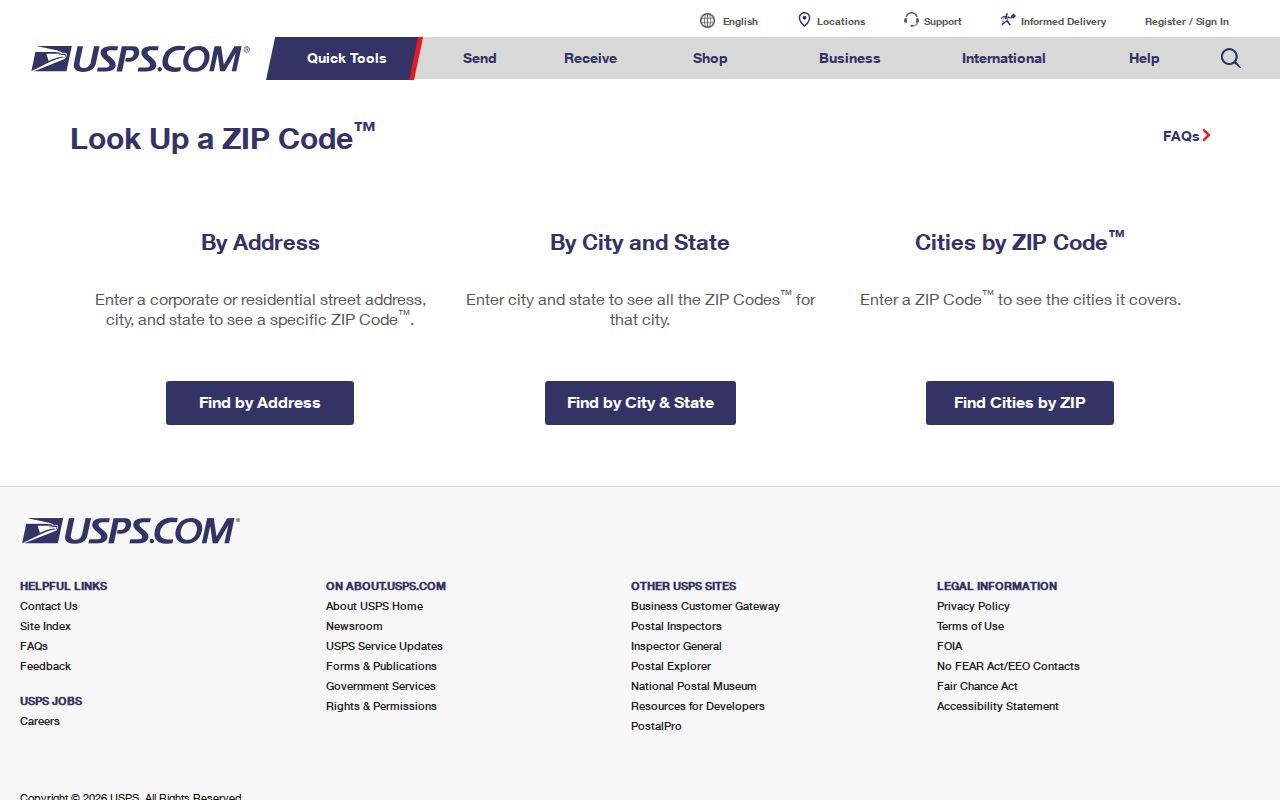
The returned postal result confirms delivery geography. It does not identify parcel ownership, a city limit, a voting district, or a legal description.
Find Gwinnett Residents by ZIP
No verified county assessor filter supports a countywide search by ZIP alone. Avoid claiming one. Start from an address, a lawful voter-list product, or a mapped area, then confirm each result through its original custodian. The ZIP code directory helps define the search area, while official records establish what a name or parcel means.
- Verify a full address or postal city through the USPS lookup.
- Open county GIS and locate the address, street, or intersection.
- Confirm the parcel PIN and the city, district, or county layers that apply.
- Read the assessor card for owner, mailing address, situs address, and parcel references.
- Use an authorized voter-file product only within its published rules and privacy limits.
- Move to the Gwinnett County street directory after narrowing the area to a named street.
Georgia’s public voter-list product contains parsed residence city and ZIP fields along with district data. It is obtained through a separate state ordering channel, not through the one-person My Voter Page. Protected addresses are excluded, and commercial use is prohibited. A list should never be described as a complete roll of everyone who lives in a ZIP.
North Gwinnett Multi-County ZIPs
North Gwinnett shows why county labels and postal codes cannot be merged. ZIP 30024 serves Suwanee but extends beyond both the city and county line. ZIP 30517 reaches the Braselton fringe, while 30548 serves the Braselton and Hoschton fringe across a multi-county boundary. Buford’s 30518 and 30519 cover both city and unincorporated areas.
A person, street, or parcel found in one of these codes still needs a county check. County assessor and deed portals are organized by jurisdiction, so searching only Gwinnett County may miss an address on the far side of the ZIP. GIS should settle the county before records research begins.
Note: A multi-county ZIP is one delivery zone crossing a county boundary, not a shared county record system.
Atlanta ZIPs on Gwinnett’s Edge
The official map places 30340 and 30360 along Gwinnett’s western edge. Their Atlanta postal name can mislead a records request. The first code appears near the Norcross fringe, while the second reaches the Peachtree Corners side. Neither mailing label alone identifies a City of Atlanta address.
Check the parcel in GIS, note the legal jurisdiction, and then choose the custodian. For Gwinnett land, the Board of Assessors and Clerk of Superior Court remain the countywide ownership sources. A local permit request depends on whether the mapped parcel is incorporated or unincorporated. This small check prevents a request from going to the wrong city.
Gwinnett ZIP and Address Terms
Several fields can appear beside one property, but they answer different questions. Keep each value under its own label when copying a record. A ZIP does not replace the parcel number, and the owner’s mailing address does not replace the land’s location.
- ZIP Code
- A USPS delivery area that can cross city and county boundaries.
- ZIP+4
- A more precise delivery code for a segment, building, or group of addresses.
- PO-box ZIP
- A code used for post-office boxes or special postal service; confirm the exact use with USPS.
- Unique ZIP
- A code assigned to one high-volume organization; none was verified for Gwinnett in the research.
- Carrier route
- A delivery path within a ZIP, not a municipal district or resident roll.
- Situs address
- The physical location of the parcel, distinct from the owner’s tax-mail address.
Parcel PINs and legal descriptions are land identifiers. They do not encode a ZIP. A plat or deed controls legal-description questions, while GIS and USPS serve different mapping and delivery tasks.
Link Gwinnett ZIPs to Parcels
After USPS confirms the delivery form, the assessor and GIS pair connect that address to county land records. The assessor can show owner name, mailing and situs addresses, PIN, values, exemption clues, parcel traits, and deed references. GIS can locate a parcel, owner, street, address, or intersection and display selected layers.
Do not treat the owner’s mailing address as proof that the owner lives at the parcel. It is where tax correspondence goes and may differ from the situs. A homestead clue supports owner occupancy but does not name all occupants. Deeds prove recorded title interests, not a current household.
The county Elections page appears in the successful manifest capture below and represents one official route for questions about registration and record requests.
Open the Gwinnett County Elections source used for this ZIP research.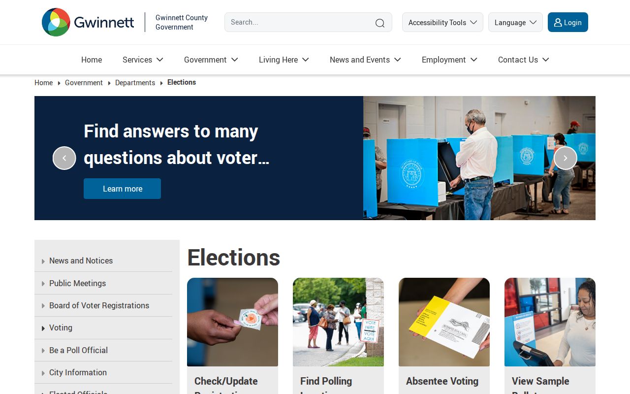
The elections office separates general voter help from requests for copies, which must use the open-records route.
Gwinnett ZIP Voter Record Limits
Georgia My Voter Page verifies one registered voter through identifying inputs. It is not a browsable ZIP or block directory. The statewide voter-list order service is a different product, with fixed geographic products, published fields, fees, and use rules. Its public data can include birth year, but not full date of birth, Social Security number, driver-license number, or telephone number.
The Gwinnett elections FAQ is shown in another successful manifest image.
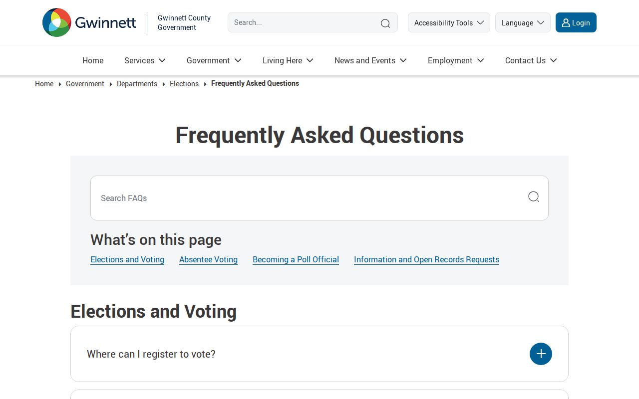
Protected addresses under Georgia law make any released geographic file incomplete by design. Use voter data only for lawful purposes, minimize copied personal detail, and never try to defeat an address-confidentiality program.
Limits of a Gwinnett ZIP Directory
The research did not verify official station names, exact PO-box-only classifications, unique ZIP assignments, realignment dates, or per-ZIP population totals. Those gaps must remain visible. The county map is a planning reference built from USPS data, and USPS remains the source for a specific delivery address.
A ZIP-wide search also cannot prove residence. Property records name owners, voter products omit protected people and nonvoters, and postal codes cross jurisdiction lines. Use the ZIP code directory to frame the area, then confirm each fact through the office that created the record.